Town Center Loop W & Park Place
Visualization 1
A note about the images below:
This is a visualization or concept of what could occur in this area under the policies set forth in the adopted 2019 Town Center Plan.
Each new development (building or buildings) requires a land use review process before a proposed development can be approved.
The buildings illustrated in these visualizations have not been proposed, reviewed or approved by the City of Wilsonville.
One exception is the Wilsonville Town Center Mixed-use Development (“WTC Project”) at 29690 SW Town Center Loop W (former Shari’s restaurant site). Learn more about that project here. The WTC Project is privately developed with no financial assistance from the City.
Image 1: Existing Conditions
Image Notes
Image 1: Existing Conditions
Image of the area without potential future development; Shari’s Restaurant still standing.
Image 2: Near Term Build Out or Initial Development
Image provides an example of the area with the removal of Shari’s and the addition of the approved WTC Project.
Image 3: Mid-term Build Out or Mid-term Development
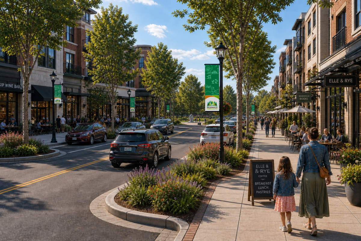
Image provides an example of hypothetical future development east of the WTC Project. This includes additional mixed-use development, providing three to four story buildings, facing each street, as may be permitted in these Subdistricts. The image depicts a new street between the hypothetical new development and the WTC Project, surface parking, structured parking and corner gathering spaces for seating and outdoor dining. The image also includes the proposed “Park Place Promenade” identified in the Town Center Plan and on the list of eligible projects that could be funded by the Town Center Development District Plan.
Image 4: Long-Term Build Out or Full Development
This image includes an example of additional hypothetical development south/southeast of Town Center Park, flanking a new Main Street. The hypothetical development on the proposed Main Street includes a parking garage while the extension of Courtside Drive can be seen west of Town Center Park.
These proposed roads are consistent with the adopted Town Center Streetscape plan, a component of the 2019 Town Center Plan. New gathering spaces, including a public plaza, additional park space and the “festival street” portion of Main Street (today’s Park Place) can also be seen.
This image demonstrates how future development could occur and complement existing development into the future. New development in the area may occur driven by market demands and landowner decisions.
Image 5: Long– Term Build Out or Full Development (Annotated)
This image provides the same example development as the previous image but with annotations for context and clarity.