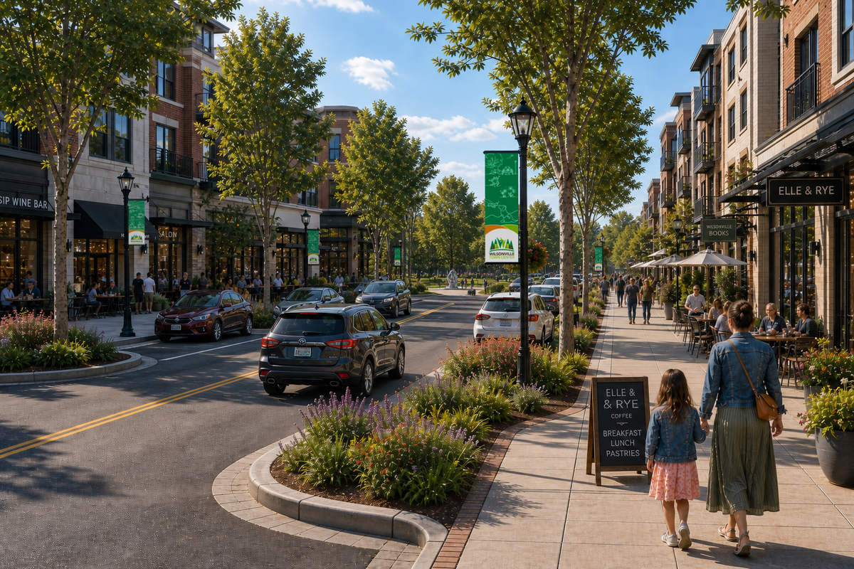
Court Side Drive & Town Center Loop E
Visualization 3
A note about the images below:
This is a visualization or concept of what could occur in this area under the policies set forth in the adopted 2019 Town Center Plan.
Each new development (building or buildings) requires a land use review process before a proposed development can be approved.
The buildings illustrated in these visualizations have not been proposed, reviewed or approved by the City of Wilsonville.
Image 1: Existing Conditions
Image Notes
Image 1: Existing Conditions
This is an aerial image of the site as it exists today, without any hypothetical development. The vantage point looks northwest from City Hall at the intersection of Courtside Drive and Town Center Loop. The land north of City Hall and south of Clackamas Community College’s campus is undeveloped.
Image 2: Near Term Build Out or Initial Development
This image illustrates an example of a potential first phase of development. 2-3 story residential development is allowed in this “Neighborhood Mixed-Use” subdistrict (N-MU). This hypothetical townhouse development on the west side of the Town Center Loop E provides a transition between Town Center and the existing residential properties east of Town Center Loop E, consistent with the Town Center Plan.
Undeveloped land remains on the north of Courtside Drive, east of Town Center Park.
A hypothetical community gathering space, with public art and parking, is located next to a pop-up food cart pod at the corner of Town Center Loop and Courtside Drive.
Image 3: Long– Term Build Out or Full Development
This image shows the food cart pod becoming a permanent food hall with outdoor dining allowed in the “Neighborhood Mixed-Use” subdistrict (N-MU).
The image shows additional, hypothetical new residential development north of Courtside Drive, east of Town Center Park within the “Mixed-Use subdistrict (MU) and preserved parks space adjacent to Courtside Drive.
On the far left side of the image, additional mixed-use “Main Street” development can be seen, west of Goodwill. 4 stories is the maximum height in the Main Street (MSD) subdistrict.
New development in the area may occur driven by market demands and landowner decisions. Development is expected to occur gradually over the span of 20-30+ years.
Image 4: Long– Term Build Out or Full Development Annotated
This image shows everything in the Long-Term Build Out or Full Development image and provides context with existing landmarks such as City Hall and Goodwill. The annotations specifically identify the hypothetical future development features including new streets and other connectivity between new development and Town Center Park.
These conceptual images depict development and other features that are consistent with the adopted 2019 Town Center Plan and Town Center Streetscape Plan.